Swiss Irontrail T55 in relief
Savognin → Bivio · 55 km · 4'199 m D+
The 55 km and 4,200 m of climbing of the Swiss Irontrail T55 as a relief, from Savognin to Bivio.
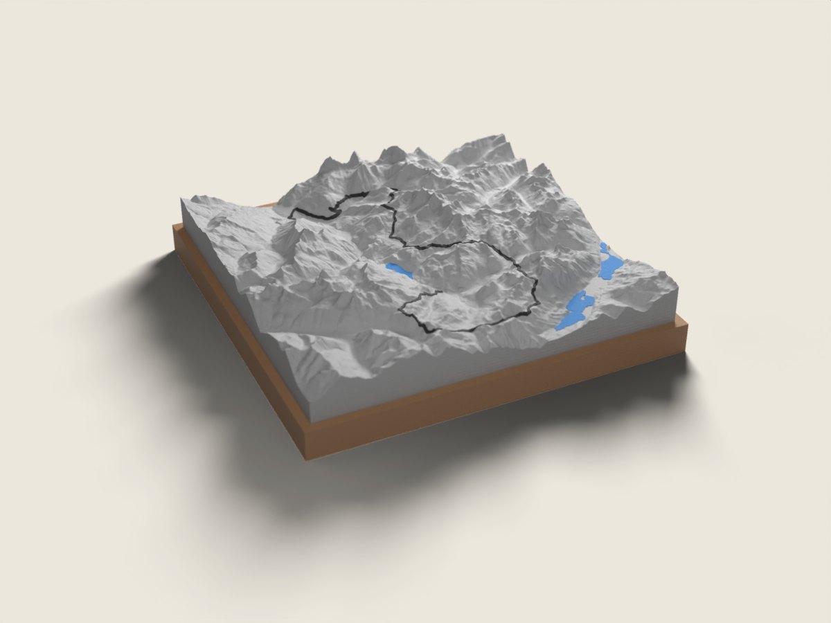
The T55 course runs from Savognin to Bivio at the head of the Surses valley – without the return leg of the T78, but with its most alpine section. The relief shows the Val d’Err and the Fuorcla digl Leget, nicknamed the “Himmelstor”, then the Grevasalvas lake and the Lunghin Pass above Maloja. After the Septimer Pass and the Fuorcla Valletta, looking into the Avers valley, the route passes Lake Columban before dropping down the Stallerberg to Bivio. Raced in August.
The relief comes from swisstopo elevation data, accurate to the metre; the race line is drawn on top. On the front band of the base we engrave your name and your time; underneath, the race, the date, the distance and the elevation gain. 12 × 12 or 18 × 18 cm, made to order in 7 working days, free delivery in Switzerland.
Swiss Irontrail: the other distances
- Swiss Irontrail T78 Savognin loop · 78 km
- Swiss Irontrail: all distances
More trails in the same region
- Engadin Ultra Trail EUT102 Samedan loop · 102 km
- Davos X-Trails Diamond Boucle de Davos · 68 km
- Davos X-Trails Gold (ex-Swissalpine K43) Boucle de Davos · 43 km