Swiss Irontrail: the route
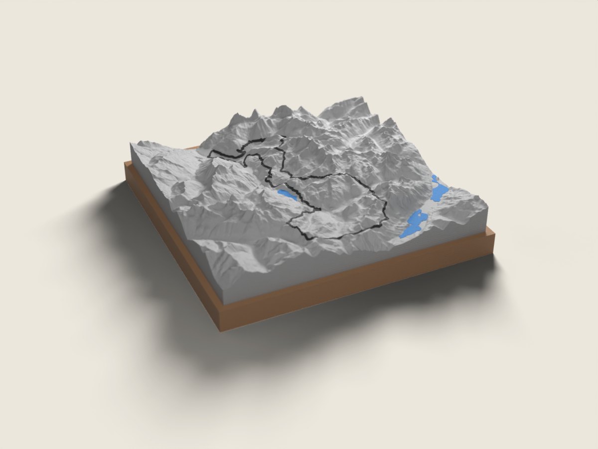
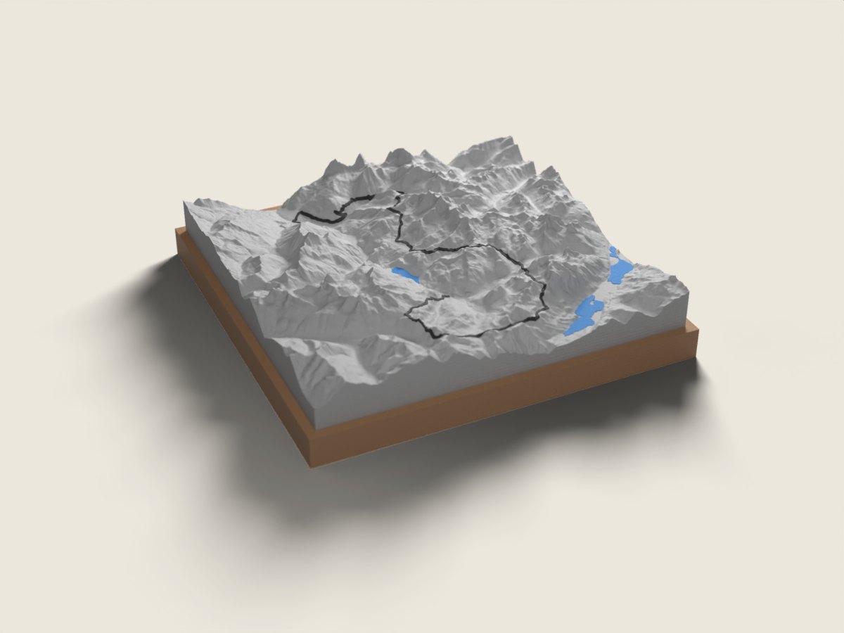
In mid-August the Swiss Irontrail is run in the heart of Graubünden, in the Surses around Savognin and Bivio. The T78 (78 km, close to 5,000 m of climbing) is a loop from Savognin: Val d'Err, Alp Flix, the "Himmelstor" (Fuorcla digl Leget), Lake Grevasalvas, the Lunghin and Septimer passes, the Fuorcla Valletta, then Stallerberg, Bivio and Sur on the way back, with a single summit, the Forcellina at 2,775 m. The T55 (55 km, about 4,200 m) also starts in Savognin, uses most of the same passes and finishes in Bivio after the descent from Stallerberg. The race route relief map shows the watershed at the Lunghin and Septimer, between the Rhine, Inn and Po basins, and the tight sequence of passes that makes the race so demanding. A finisher keepsake from these high valleys, or a gift for trail runners who made it to the finish. The base carries the name, finishing time and date.
The relief comes from swisstopo elevation data, accurate to the metre; the race line is drawn on top. 12 × 12 or 18 × 18 cm, made to order in 7 working days, free delivery in Switzerland.
Frequently asked questions
- Which Swiss Irontrail distances do you offer?
- The T78 (loop from Savognin) and the T55 (Savognin to Bivio). For shorter formats such as the T20 or T22, write to us.
- Is the route the one from my year?
- We use the published route for the edition shown on each distance's page. If your course was changed, for example for weather, contact us before ordering.
- Can I give it to a finisher?
- Yes. Enter the name, time and date to engrave. Made in 7 working days, free delivery in Switzerland.