Marathon du Mont-Blanc: the route
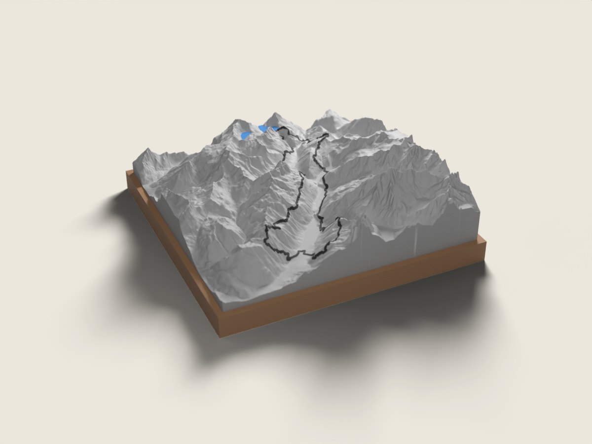
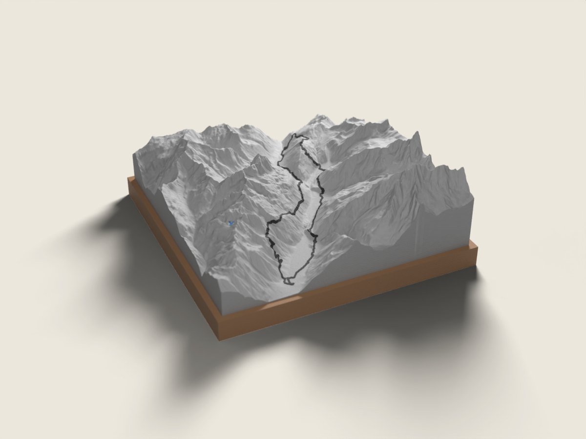
In late June the Marathon du Mont-Blanc opens the big-race season in Chamonix. Its courses run through the Chamonix valley, along the balcony trails that face the Mont Blanc massif, between the Aiguille du Midi, the glaciers reaching down towards the valley and the Aiguilles Rouges range. The 42 km (about 2,500 m of climbing) is a loop starting and finishing in Chamonix, a mountain marathon with serious elevation. The 90 km (88 km measured, about 6,200 m of climbing) is the ultra version: a long loop exploring the valley and its heights before returning to the centre of Chamonix. The race route relief map shows what you see while running: the narrow Arve valley, the Mont Blanc massif on one side, the Aiguilles Rouges on the other, and your line moving between the two. A finisher keepsake from a day beneath the highest summit in the Alps, or a gift for trail runners just back from Chamonix. The base is engraved with the name, finishing time and date.
The relief is reproduced accurate to the metre; the race line is drawn on top. 12 × 12 or 18 × 18 cm, made to order in 7 working days, free delivery in Switzerland.
Frequently asked questions
- Which Marathon du Mont-Blanc distances do you offer?
- The 42 km and the 90 km, both loops from Chamonix. For a shorter distance of the event, write to us.
- Is the route the one from my year?
- We use the published route for the edition shown on the page (2026). The course has changed over the years; for an older edition, contact us before ordering.
- Can I give it to a finisher?
- Yes. Enter the name, time and date. Made in 7 working days, free delivery in Switzerland; for an address in France, write to us.