Swiss Peaks: the route
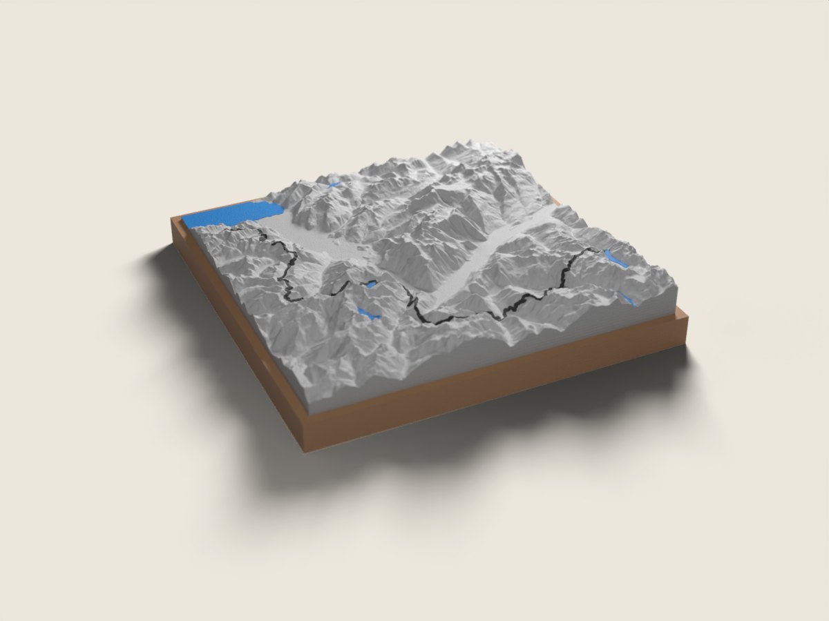
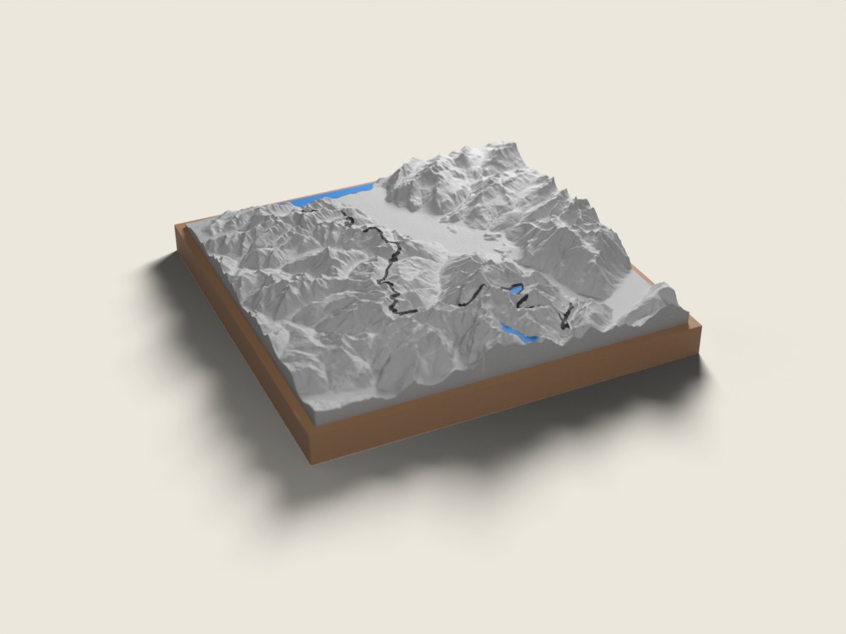
In late August and early September, Swiss Peaks crosses the Valais from east to west to the shore of Lake Geneva at Le Bouveret. The 100 Miles (168 km, close to 11,000 m of climbing) starts at the Grande Dixence dam in the Val des Dix and reaches Le Bouveret on a very alpine, technical route with several base camps along the way. The Ultra (101 km, about 6,000 m of climbing) sets off at night from Salvan in the Trient valley and also finishes by the lake. The race route relief map shows each line in full: from the high valleys of central Valais to the mountains of Lower Valais and the Chablais, then the final drop to Lake Geneva. For a race that stretches over one or two days and often several nights, the relief brings it all down to the size of your hand. A finisher keepsake for yourself, or a gift for trail runners who made it to Le Bouveret. The base is engraved with the name, finishing time and date.
The relief is reproduced accurate to the metre; the race line is drawn on top. 12 × 12 or 18 × 18 cm, made to order in 7 working days, free delivery in Switzerland.
Frequently asked questions
- Which Swiss Peaks distances do you offer?
- The 100 Miles (Grande Dixence to Le Bouveret) and the Ultra (Salvan to Le Bouveret). Longer formats such as Legend or Odyssey are not available yet; write to us if you ran one.
- Is the route the one from my year?
- We use the published route for the edition shown on the page (2026). Swiss Peaks sometimes adjusts its course; if yours differed, contact us before ordering.
- Can I give it to a finisher?
- Yes. Enter the name, time and date to engrave. Made in 7 working days, free delivery in Switzerland, CHF 49 or 69.