Trail Vallée de Joux: the route
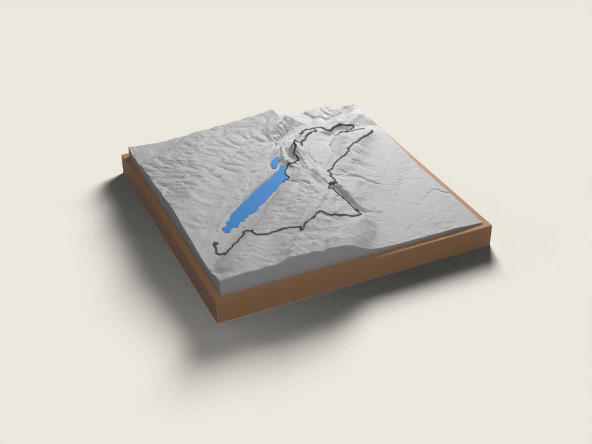
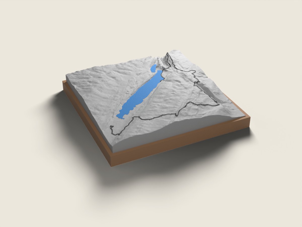
In October, as the Jura forests turn to autumn colours, the Trail Vallée de Joux starts on the lakeshore at L'Abbaye and finishes in Le Sentier. The 58K (58 km, about 2,900 m of climbing) heads straight up the Dent de Vaulion, drops to Vallorbe, runs through Juriens, the Col du Mollendruz and Montricher, then climbs Mont Tendre, at 1,678 m the highest summit of the Swiss Jura, before descending to Le Sentier. The 37K (about 1,800 m) also takes in the Dent de Vaulion, heads directly to the Col du Mollendruz and Mont Tendre and finishes at the same place. On the race route relief map the Vallée de Joux appears as a long cradle between two ranges, with the lake at the bottom and ridges on either side; your line follows the heights from one end to the other. A finisher keepsake from this late-season race, or a gift for trail runners from the valley. The base is engraved with the name, finishing time and date.
The relief is reproduced accurate to the metre; the race line is drawn on top. 12 × 12 or 18 × 18 cm, made to order in 7 working days, free delivery in Switzerland.
Frequently asked questions
- Which Trail Vallée de Joux distances do you offer?
- The 58K and the 36K (37 km measured), both from L'Abbaye to Le Sentier. For the shorter formats, write to us.
- Is the route the one from my year?
- We use the published route for the edition shown on the page (2026). If your course differed, contact us before ordering.
- Can I give it to a finisher?
- Yes. Enter the name, time and date to engrave. Made in 7 working days, free delivery in Switzerland, in good time for a holiday gift.