Trail Vallée de Joux 36K in relief
L'Abbaye → Le Sentier · 37 km · 1'835 m D+
The 37 km and 1,835 m of climbing of the Trail Vallée de Joux 36K as a relief, from L’Abbaye to Le Sentier.
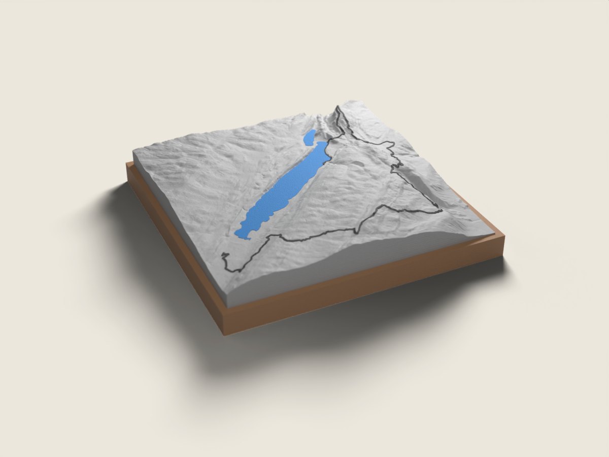
The 36K course links L’Abbaye to Le Sentier while staying close to the Vallée de Joux. Like the 58K, it first climbs the Dent de Vaulion, but then heads straight for the Col du Mollendruz without dropping down to Vallorbe. The relief shows the long ridge leading to the Mont Tendre, the highest point of the Swiss Jura at 1,679 m, and the descent to Le Sentier. On the piece, Lac de Joux and the valley’s forests sit at the heart of the route. Raced in October.
The relief is reproduced accurate to the metre; the race line is drawn on top. On the front band of the base we engrave your name and your time; underneath, the race, the date, the distance and the elevation gain. 12 × 12 or 18 × 18 cm, made to order in 7 working days, free delivery in Switzerland.
Trail Vallée de Joux: the other distances
- Trail Vallée de Joux 58K L'Abbaye → Le Sentier · 58 km
- Trail Vallée de Joux: all distances
More trails in the same region
- SuperTrail du Barlatay 50 km L'Étivaz loop · 50 km
- SuperTrail du Barlatay 75 km L'Étivaz loop · 74 km
- Montreux Trail MXTREME Bex → Montreux · 102 km