Trail Verbier St-Bernard: the route
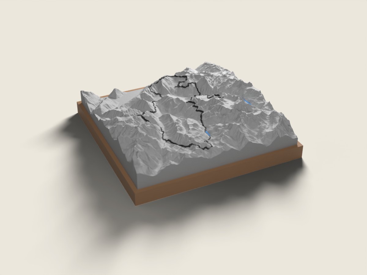
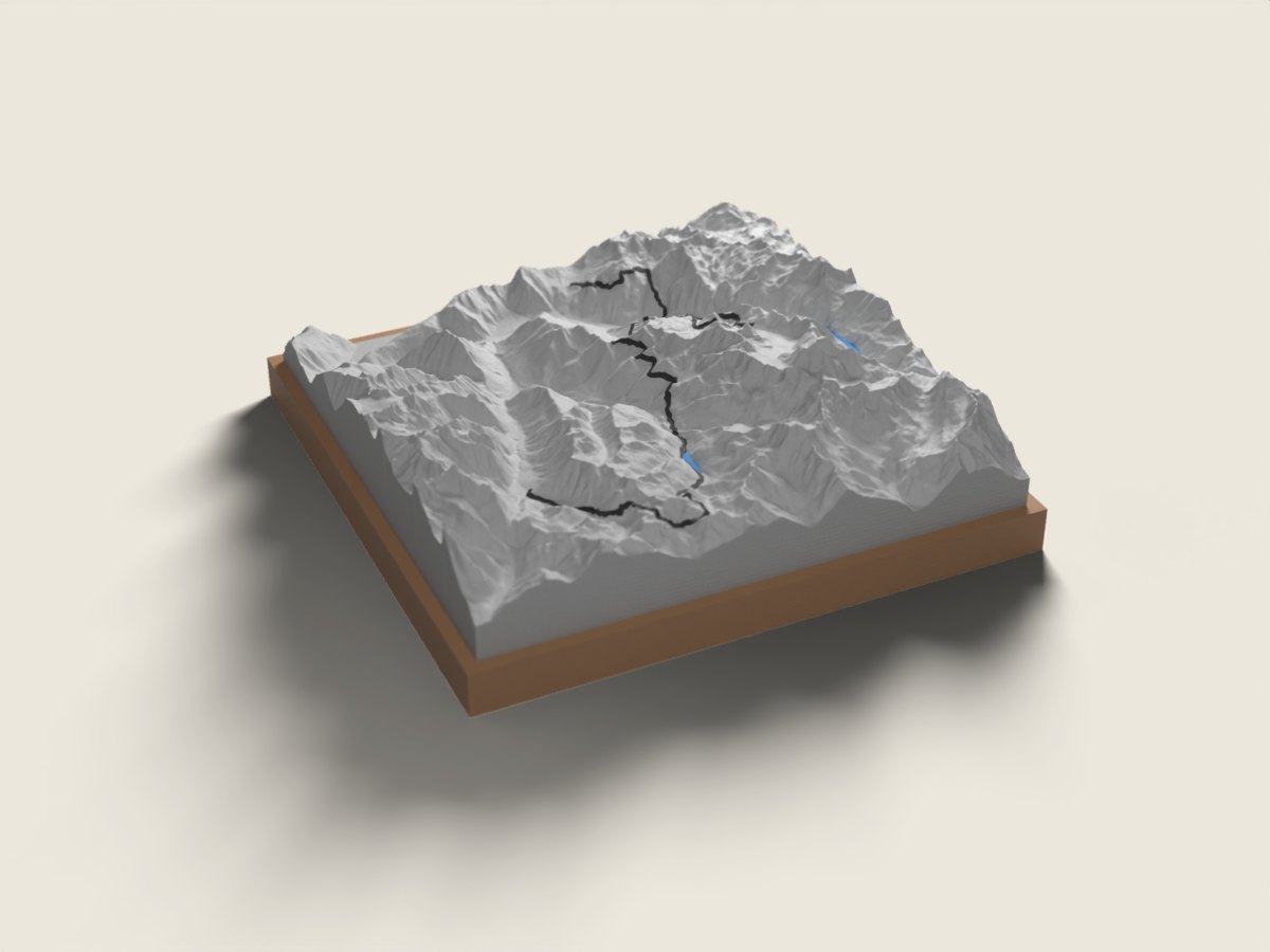
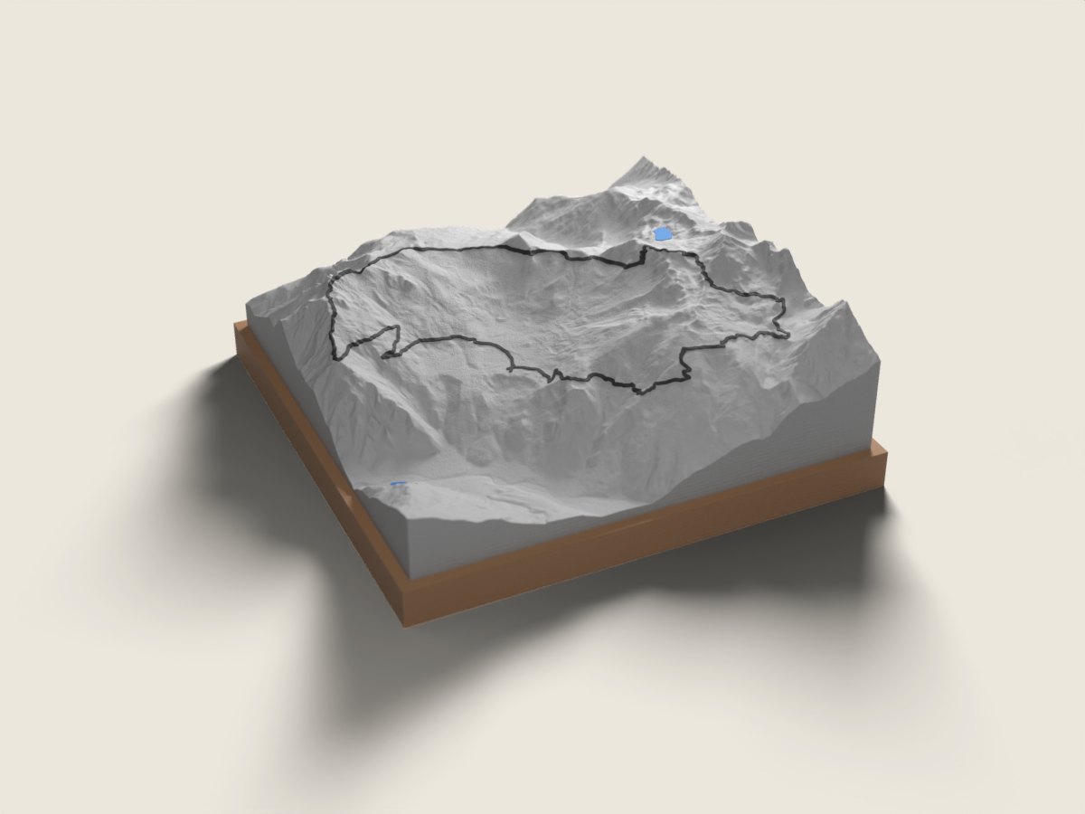
Every July the Trail Verbier St-Bernard links the Bagnes, Ferret and Entremont valleys. The X-Alpine (140 km, about 9,300 m of climbing) leaves Verbier for Champex and its lake, passes near the Orny hut, drops to La Fouly, crosses the Fenêtre de Ferret with a short stretch in Italy, reaches the Great St Bernard pass and its hospice, then heads back to Verbier via Bourg-Saint-Pierre and the Panossière area facing the Grand Combin. The X-Traversée (77 km) starts in La Fouly and follows that second half to Verbier. The X-Plore (28 km) is a loop around Verbier: up towards Pierre Avoi, on to the Mont-Fort hut and along a section of the Bisse du Levron. The race route relief map makes the chain of passes easy to grasp. A finisher keepsake after long hours on the trail, or a gift for trail runners just back from Verbier. The base is engraved with the name, finishing time and date.
The relief is reproduced accurate to the metre; the race line is drawn on top. 12 × 12 or 18 × 18 cm, made to order in 7 working days, free delivery in Switzerland.
Frequently asked questions
- Which distances are available?
- The X-Alpine (140 km), X-Traversée (77 km) and X-Plore (28 km), each with its own route on the relief.
- Is the route the one from my year?
- We use the published route for the edition shown on the page. The Great St Bernard section is sometimes adjusted; if your year differed, write to us before ordering.
- Can I give it to a finisher?
- Yes. Enter the name, time and date. Made in 7 working days, free delivery in Switzerland, CHF 49 or 69 depending on size.